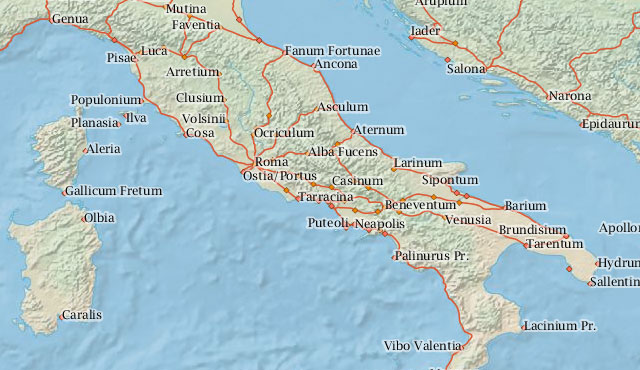
In a clever bit of technological legerdemain, Stanford University has combined historical research, mapping, and Web technology to bring ancient Roman Empire travel to the Internet. A cross-disciplinary team has created and launched ORBIS: The Stanford Geospatial Network Model of the Roman World. With it, a user can determine how long it will take to travel from any point in the Roman Empire to any other, as well as calculate the cost of transporting goods and people.
This heretofore unnatural union of geographers, technologists, and historians of the ancient world is becoming more and more common under the descriptor of “digital humanities.” ORBIS looks to be one of the most effective examples of its promise.
Built by historian and classicist Walter Scheidel and Stanford Libraries’ digital humanities specialist Elijah Meeks, with the assistance of geographer and Web developer Karl Grossner and GIS analyst Noemi Alvarez, the interactive online atlas is based on a host of data. This includes historical tide information and weather; size, grade, and surface of roads; main cities and ports; land, sea, and river routes; vehicle speed (including ships, ox carts, horse, and walking); and the cost of transport.
from Ars Technica
